The bulk properties available will depend on the feature classes selected. Usually but not necessarily you will be working either on multiple track features or multiple point features. This dialog is set up so nothing changes by default. If you enter a value by mistake it is probably best to cancel and start again.

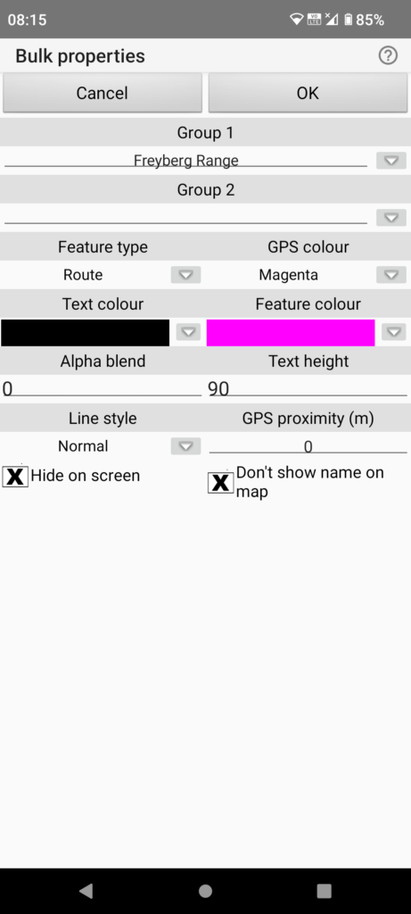
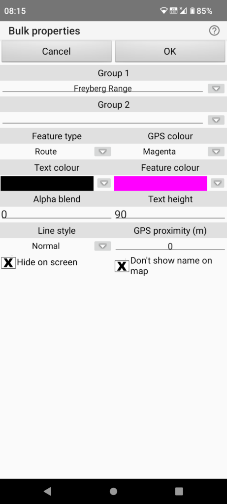
- Here we have selected 2 track features. Where features currently have differing properties *no change* will show for all properties except the check boxes. If you leave the *no change* that property won’t be changed. If you set a value all selected features will be set to that value.
- Group 1: *no change * means Group 1 attributes differ and won’t be changed by default. If you set a value here all selected features will be changed. In this case both tracks are currently set to the same value.
- Group 2: If a value is shown here then all selected features have that value. Blank in this case.
- Feature type: Only Route or Track available for these selected features. In this case all selected have Type “Route” selected.
- GPS colour: Only relevant if you are downloading tracks to Garmin GPS. Dropdown shows a Garmin specific list of available colours.
- Text colour: A colour showing means all selected have this colour. Again *no change” means text colours differ. Tap the colour (or *no change*) to get a colour dialog or the down arrow to select from list of already used colours. This is the feature label colour on the map.
Continuing with 2 track features selected.

- Feature Colour: This is the track colour on the map. Setting as per text colour.
- Alpha blend: Same principle as previously. Value 0-255 to make track log on the map semi-transparent (higher = more transparent). In this case no transparency for both tracks..
- Text height: Same principle as previously. In this case all selected use the same text height. Nominally in metres but scaled with zoom.
- Line style: All line styles are available here. In this case all selected have Line style “Normal” selected.
- GPS proximity: Sets the navigation boundary size for track voice navigation. In this case all selected tracks have no set value.
- Hide on screen, Don’t show name on map: These check boxes are all three state check boxes in the bulk properties dialog. Tap till you get the one you want. If they show an X or a tick then all selected feature will be set to that value. If they show blank then that is the equivalent of the *no change* setting on the other text based properties.
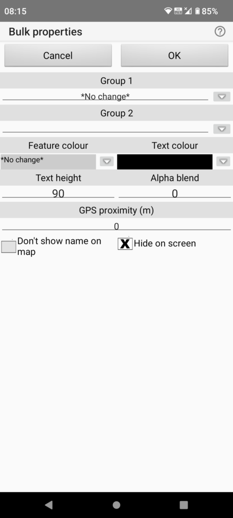
Here we have selected a point feature and a track feature. The dialog now only allows settings common to both types.

- Most settings are as per the previous selection
- Feature colour: This sets the icon colour for the point feature and the track colour for the track feature. Current properties differ in this case.
- GPS proximity: If voice navigation enabled this specifies navigation boundary radius (metres) for the track feature or voice announcement distance for a point feature.
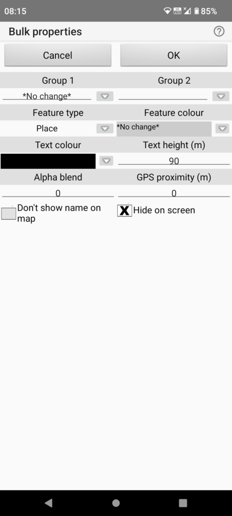
Here we have three point features selected. The same principles apply as previously. Only properties appropriate to point features are shown.

The “Group 1” property, “Feature colour” property and the “Don’t show name on map” property all differ for the selected features. The checkbox is shown with the “no change” blank setting. The other properties are currently the same for the selected features.