We describe this search separately as there are multiple ways of specifying coordinates. This example is searching for the large bivvy rock at the head of the Forgotten River near the Olivine Ice Plateau. This rock is positioned incorrectly on the current map(2023) by about 100m.
Apart from the formats described here the coordinate search will also attempt to extract coordinates from other non-numeric text so if you have some coordinates buried in some irrelevant text it’s worth trying to paste the lot to see if the app can make any sense of it. The E/N coordinate order only matters for abbreviated format coordinates.
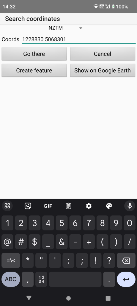
The drop down at the top gives a choice of coordinate types including lat/lon and the old NZMG. The coords shown are the actual bivvy location recorded by myself.
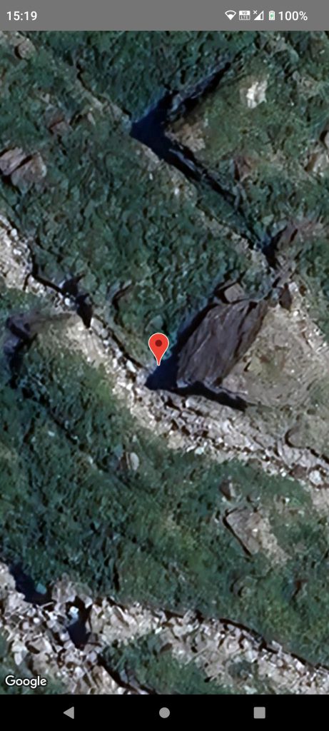
Here we tapped the “Show on Google Earth” button and zoomed in a bit to verify the correct location.
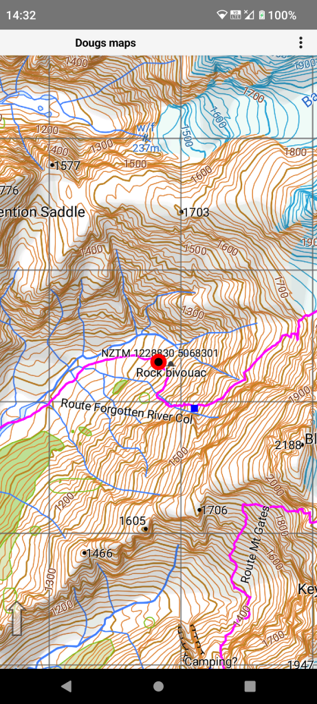
Here we tapped the “Create feature” button so we have a way point where the bivvy rock really is. By default such a feature gets its coordinates as its name so you would normally edit it’s attributes.
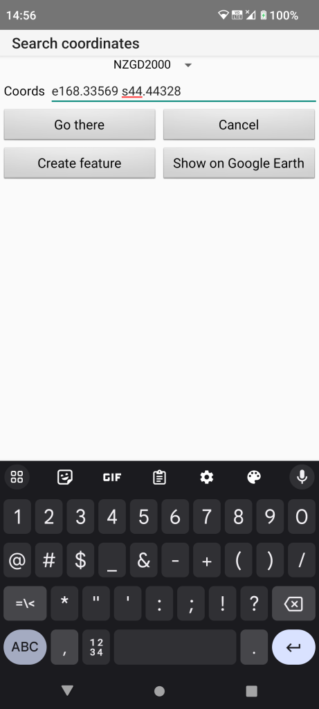
The coordinates can also be specified as lat/lon either in decimal degrees or degrees and decimal minutes.
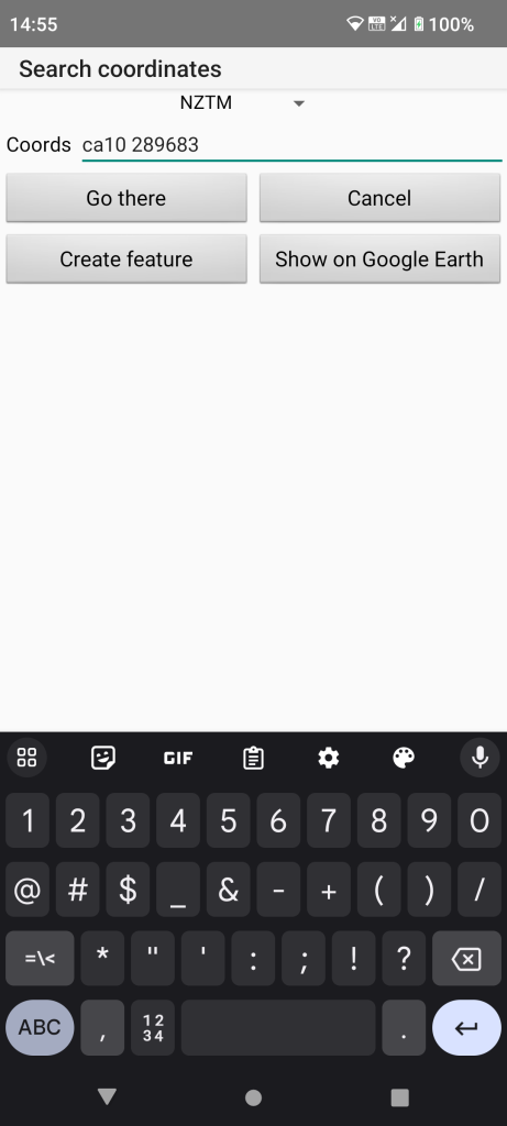
This is how the bivvy rock is described in six digit format in Moir’s guidebook. This format is accepted by the app though this points to the incorrect map location. These shortened format co-ordinates are ambiguous on their own so the map specification is preferable though the app will default to the current map if it is positioned in that area.
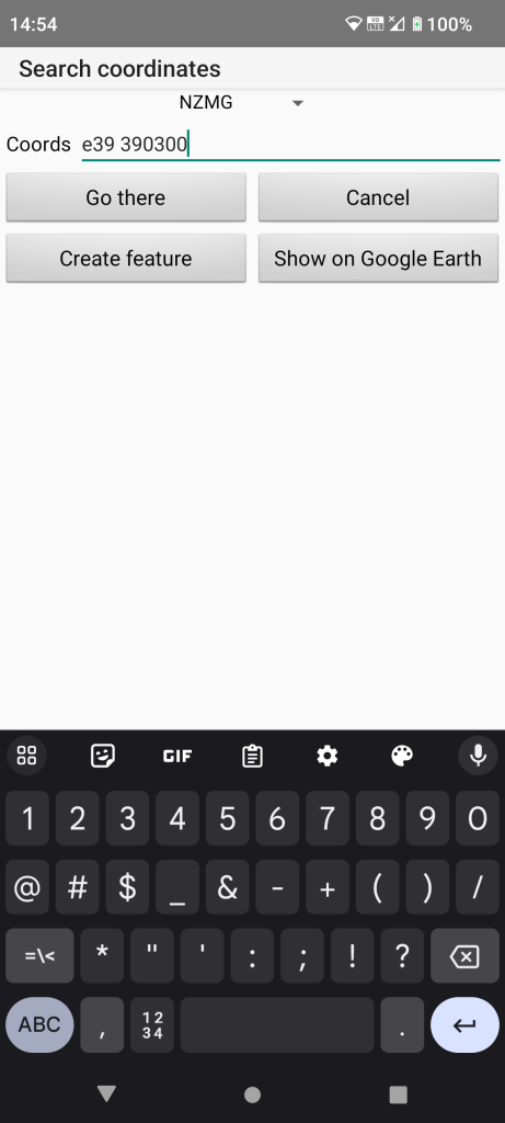
Moirs guidebook also shows the old NZMG six digit format which is also accepted by the app. Note that the drop down at the top has to be set correctly.