For hut baggers and others interested in seeing huts more easily on the maps. I’ve made a gpx file for the back country huts of New Zealand. I’ve set default values for colour and text size and given them a “Group 1” value (DOCHuts) to make them easy to manage so the default values can easily be changed. The data for each hut is gathered from a DOC database. Most have a URL you can use when on-line for further info and booking. See the images for details about loading and changing them.
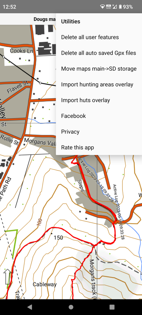
Select “Utilities” from the main menu. Then “Import huts overlay”. If you have previously loaded this overlay the previous one will be deleted after you accept a warning message.
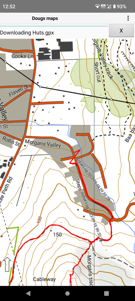
This import is quite fast as the GPX file is small.
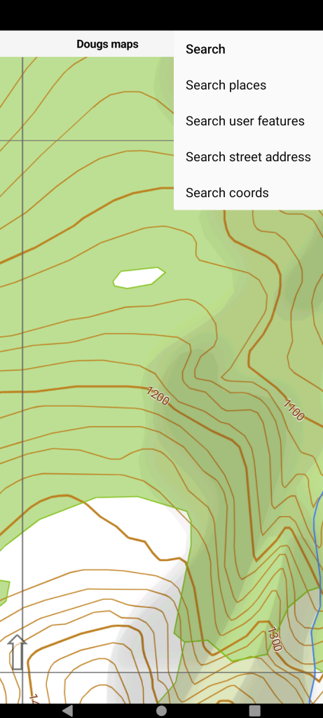
By way of example we use “Search places” to find Ada Pass Hut.
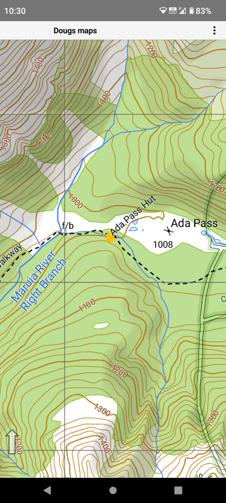
Long press Ada Pass Hut and select it from the context menu.
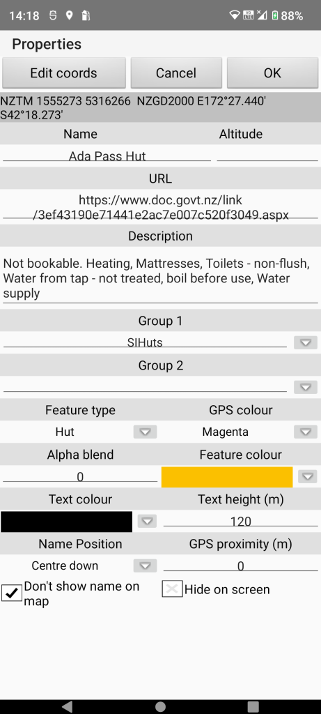
Then select “Properties” menu item. These are the default properties in the incoming GPX file.
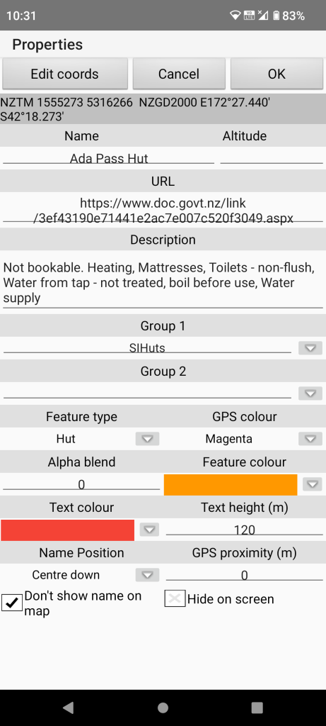
Change the two colours for example. Tap on the coloured part of the item to get a full colour dialog. Tap on the down arrow to get a selection of previously used colours. If you are a hut bagger you might like to set the “Group 2” grouping to a value to signify you have “bagged” that hut.
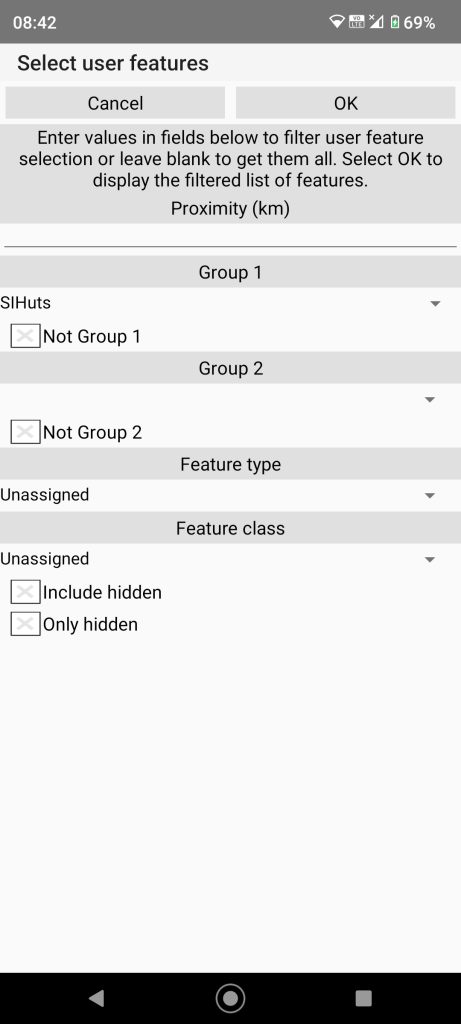
Alternatively we could change all hut properties by Selecting “User features/Manage user features” specifying “Group 1” filter by tapping the down arrow and picking “DOCHuts” from the list. This grouping is supplied by the incoming gpx file.
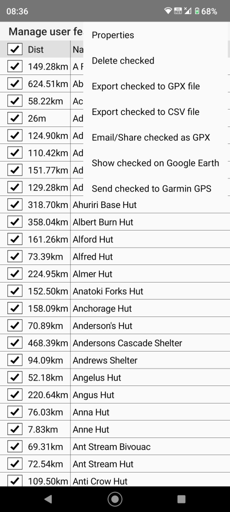
Tap the check box on the title line to check all items. Then select “Properties” from the page menu and change the same colours as for a single item above.
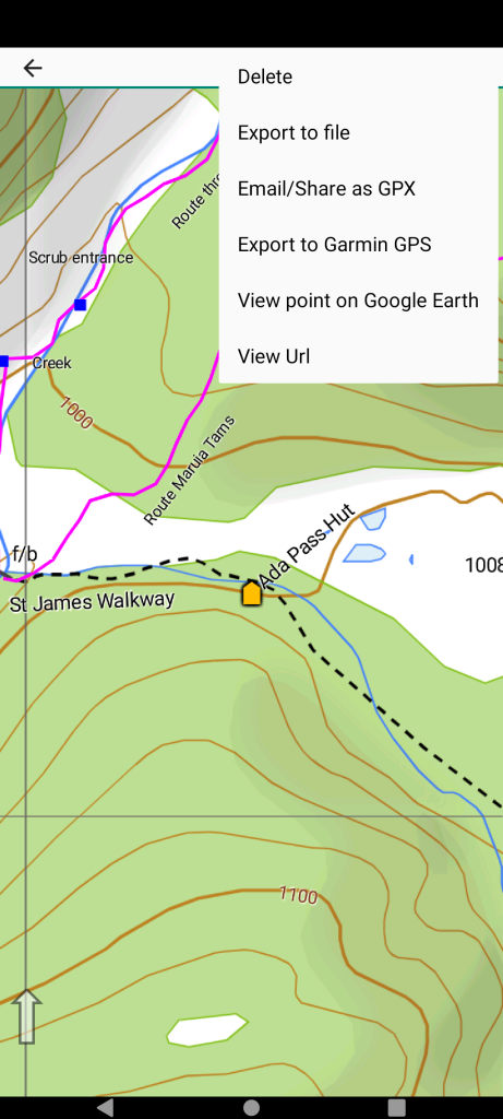
If on-line select the Ada Pass Hut user feature by long pressing nearby. Then select the “View Url” from the page menu.
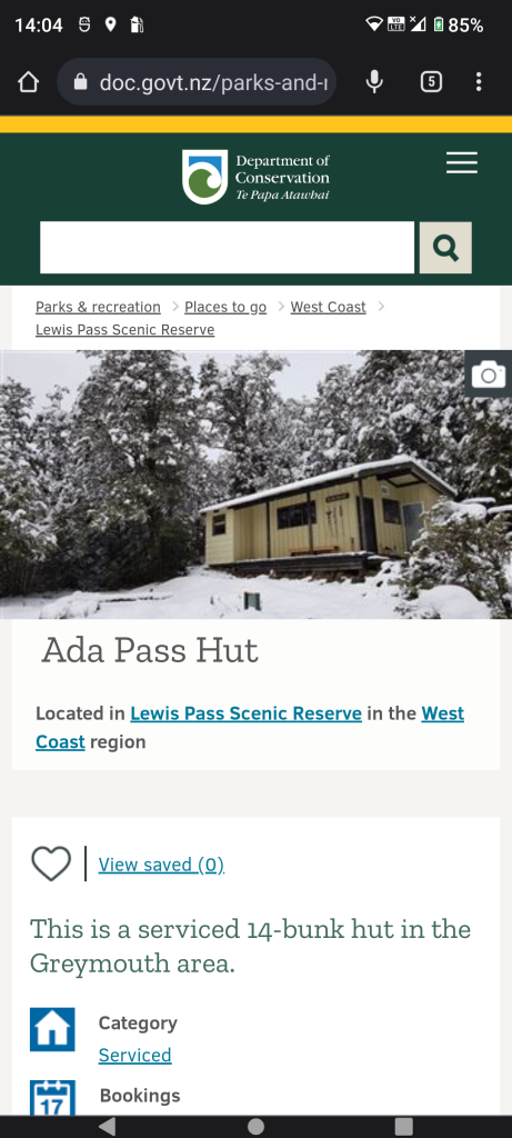
We get the official DOC website for the hut and find further info.