First bring up a context menu by long pressing somewhere near the proposed route. Select the “New track” item. A selected fledgling track will show with the “Draw” menu already selected. The pencil tool works by dragging with one finger near the fledgling track and guiding the tool along the proposed route. It is hard to do this accurately so after the initial drawing you can select a “Nudge” tool from the drawing tool menu. Use this tool by tapping lightly where you want to nudge but not too close to the track. Then place your finger a bit away from the tool image so you can see the tool and carefully drag the tool towards the selected track and “stroke” near the track to move it where you would like the route to be. If you overdo this you may need to reposition the tool on the other side of the track by re-tapping there. This all takes a bit of practice.
“Eraser” responds to finger movements like pencil in reverse and “Big nudge” is the same as “Nudge” except it nudges further and faster if you need to do that. The “Line” tool allows you to quickly add a straight line to an end of the track. The line is drawn when you lift your finger. You can cancel the current line by putting another finger down before lifting any fingers.
If you need to pan the map during drawing you can drag with two fingers.
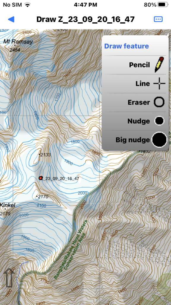
Long press at the proposed route start point. The fledgling track shows and is selected in “Draw” mode. The Draw menu offers several tools.
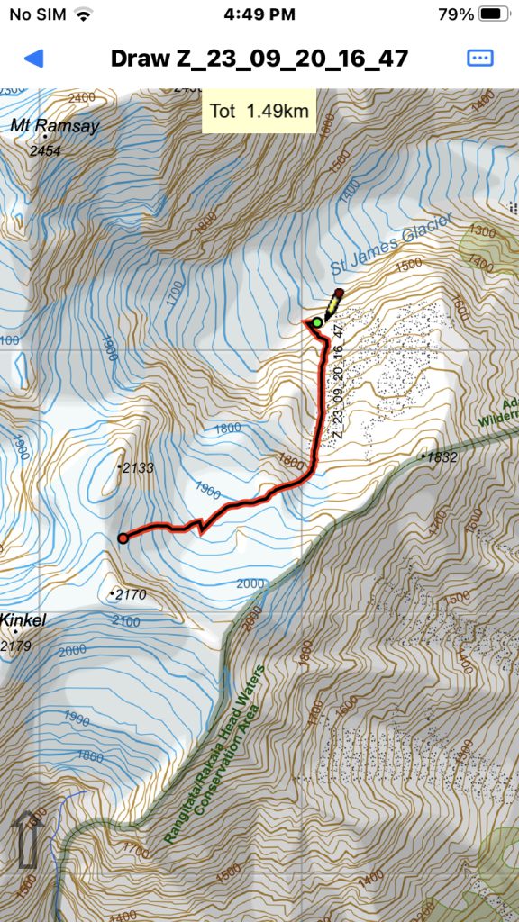
Select the pencil tool. Drag with one finger near the fledgling track and start guiding the tool along your proposed route. Pan the map with two fingers.
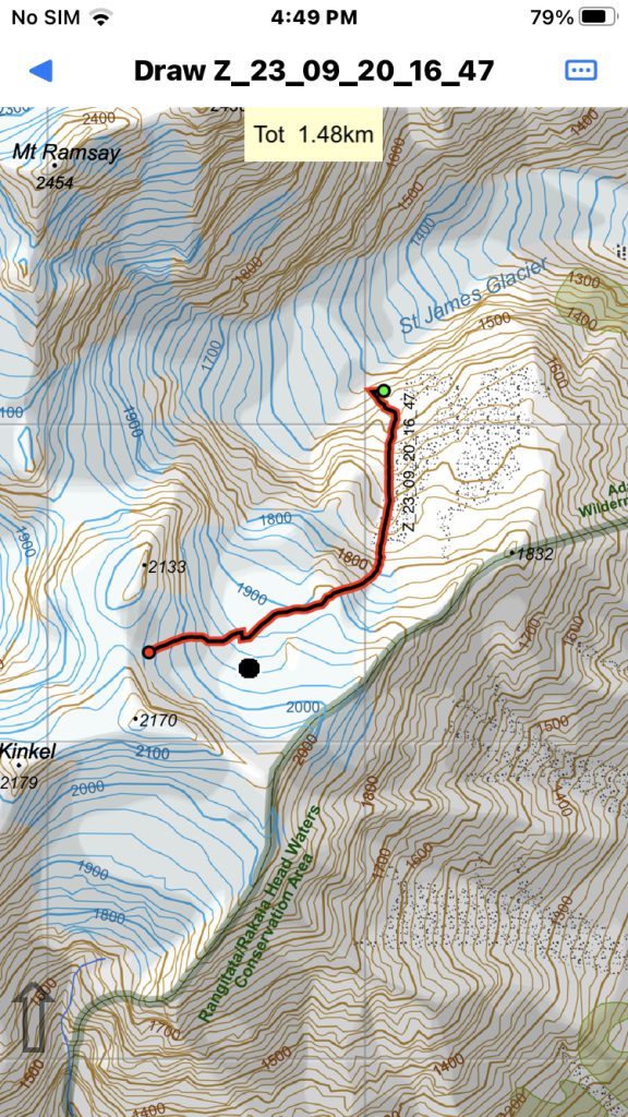
You can tap the page menu again to select another drawing tool. Use either Nudge tool to correct errors. Tap where you want to nudge but away from the track. Place your finger away from the tool image and carefully move towards the track and “stroke” the track.
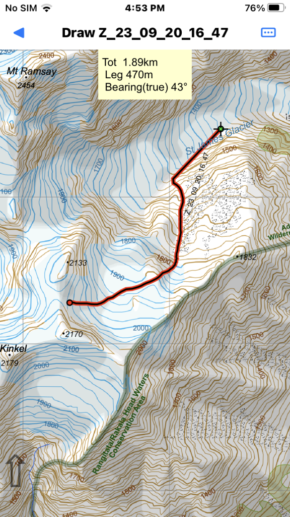
The “Line” tool allows you to quickly add a straight line to an end of the track. Sufficient for general guidance. Tap another finger down to cancel the current move.
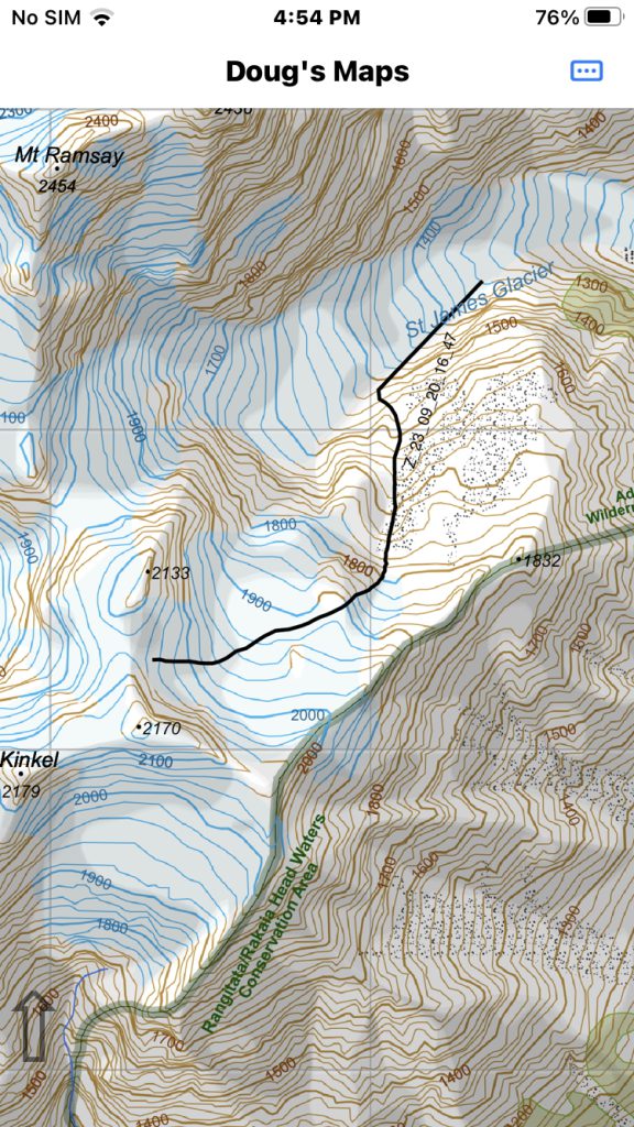
The final track. Obviously you need to have good map reading skills to pick a route in this way and even then maps are not accurate enough to show all difficulties.