Cadastral maps show property areas with some legal information such as title number and address and conservation status if any. Different colours are used to give visual information about property status – yellow for public roads, bright green for DOC land, bright blue for legal water areas, pale green for local body owned or controlled land and grey for private land.
Generally the first three allow public access (subject to legislation), local body land is often but not necessarily open to the public and private land is usually subject to permission for access.
You can use these options to help determine public access in the back country but here we will look at an interesting recent news item “Hawkes Bay land owner blocks road”. The land concerned is in the small township of Waimarama and is used as a holiday park at 30 Harper Rd.
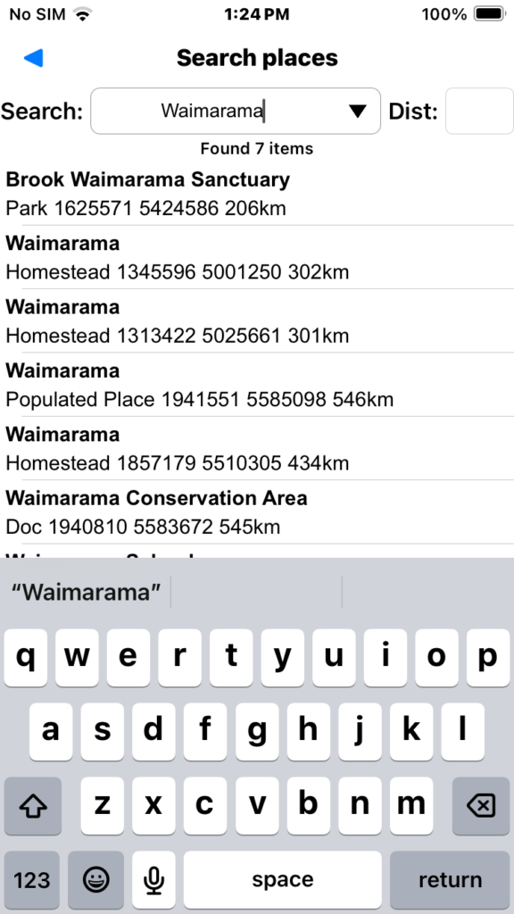
We use the menu “Search/Search place” to find the township of Waimarama.
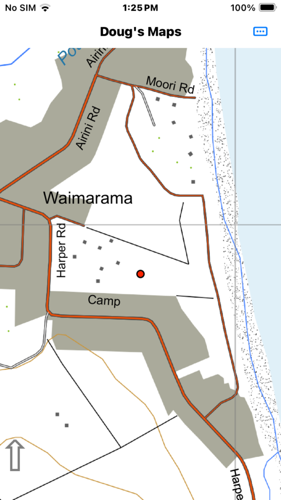
Then we pan the map to find the property and double tap the middle to center in the screen. The road at issue is the one shown at the right hand side of the map.
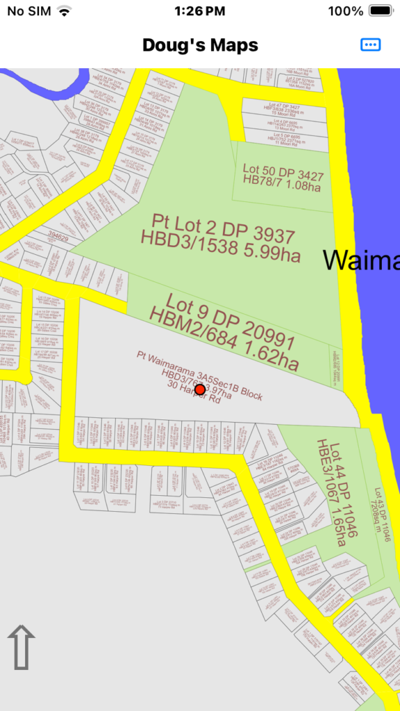
Then switch to the cadastral maps via the “Map” menu. If you have never loaded these maps you will see a menu option to download them.
You can see the large 3.97ha block in the middle which is the property of interest. The pale green blocks are recreation reserves in this case and the yellow areas are public roads all controlled by council. Public road blocks are often used adjacent to significant water bodies to represent the “kings/queens chain”.
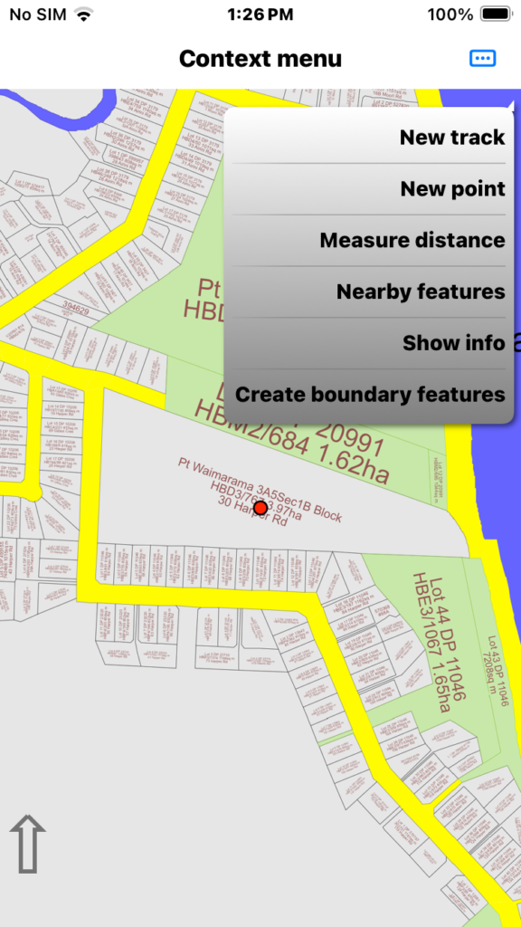
We long press on the map to see the app has a couple of context menu options specific to cadastral maps. These are “Show info” and “Create boundary features”.
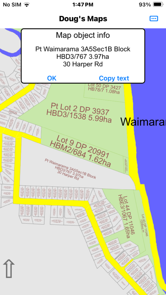
The “Show info” option shows the legal property description and address but the cadastral maps don’t show private ownership details for privacy reasons.
This image shows the legal property description and address for the land in question.
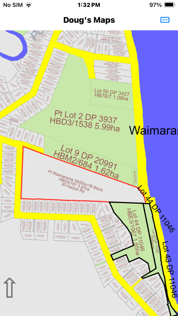
The “Create boundary features” option creates a track log around nearby legal boundaries. If you press very near a junction of several boundaries it will create logs for several sections at that junction.
This image shows track logs defining the property in question and some other council controlled properties (reserves) beside the property in question. We have changed the colour of the block in question.
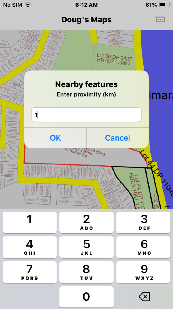
Now we long press on an appropriate block junction again and select the context menu “Nearby/Manage nearby features”. Enter a value in the proximity dialog and tap OK.
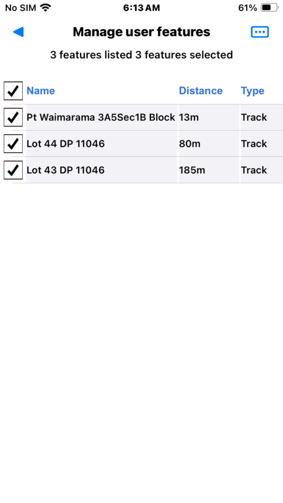
Now we have a list of three section boundaries and we select them all by tapping the check box on the title line. Then we tap the page menu to see a list of bulk features options.
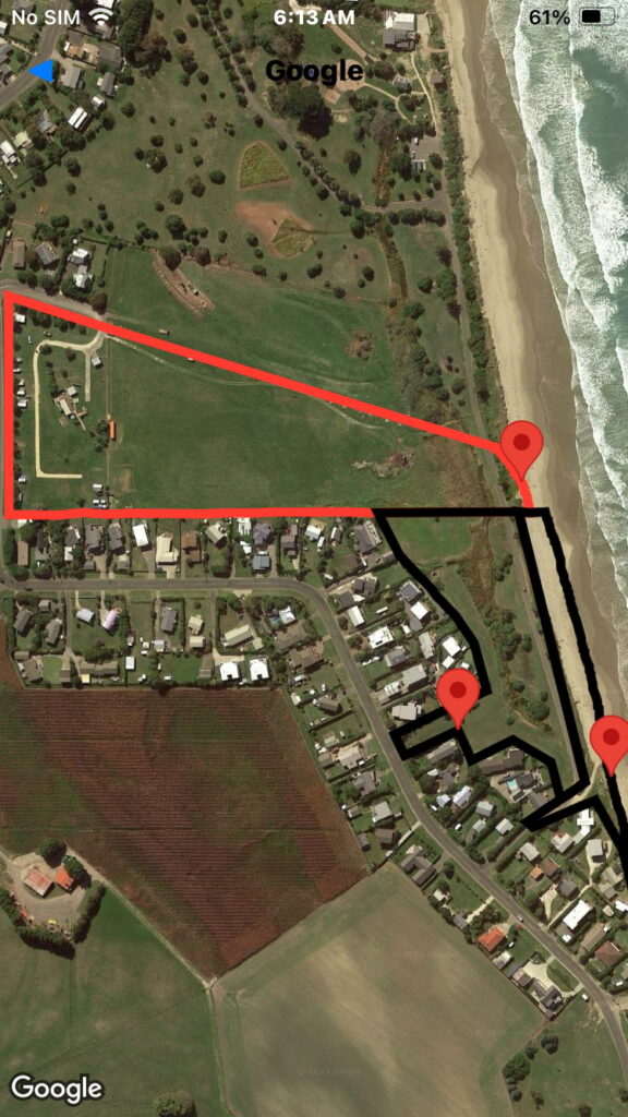
We then select the menu item “Show checked on on Google Earth”. Clearly the access road briefly encroaches into the holiday park property. The rest of the road in both directions crosses council controlled land either legal road or reserve.
Just a final note:
Cadastral data is only stored to approximately 1-2 metres accuracy in the app map database and GPS positioning on a consumer device is even less accurate than that. Google Earth geo-referencing accuracy varies but also has it’s limits. If you happen to be in a serious dispute over boundary issues measured in only a few metres or less you need a surveyor not just a consumer device.