Now to see how the GPS works. First you might need to enable Location globally on the device (Settings/Privacy & Security on my device).
The first time you start the GPS function you need to enable some permissions. When reception is achieved the map will pan to your location with a symbol denoting the current location.
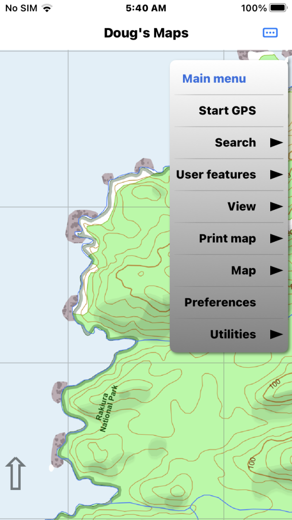
Tap the main menu button at top right and select “Start GPS”. GPS reception is best outdoors.
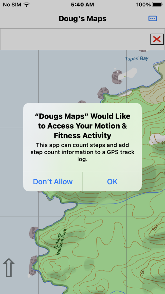
If your device has a step counter chip you now can choose to add step count info to your track logs.
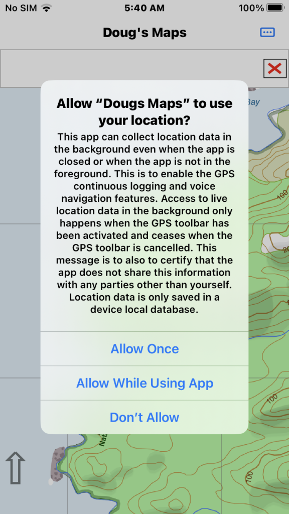
Apple requires a privacy disclosure to collect GPS data in the background. To make a track log while the app is background you must select the “While using the app” option.
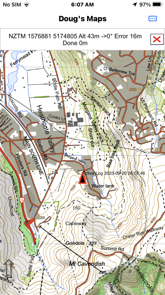
This shows the GPS running. It can take a while for the GPS to locate it’s position accurately. Tap the X button to terminate the GPS function.
The final map image shows the GPS running having found enough satellites to show its position accurately. In this case the Altitude figure is still slightly inaccurate and the location is a few metres out. The point end of the arrow icon should show the current position on the map. The direction of the arrow will indicate your current bearing track but this can take 20-30 metres of travel before it is accurate.
Panning the map or searching to a location changes the icon in the GPS bar to an arrow and temporarily stops the map from auto centering to the GPS location. Tapping the arrow causes the map to pan back to the current GPS location and changes the icon back to the X icon.
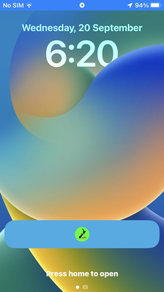
When the GPS is running the lock screen shows this icon to remind you that the GPS is running in the background (and consuming battery life). The Apple app model means an app is never usually dismissed so the GPS function needs to be explicitly terminated.